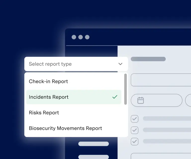
FARM MAPPING SOFTWARE
Map your farm, in minutes
Say goodbye to paper maps and experience a real-time, digital view of your farm. From blocks and facilities to hazards and roads, share an always up-to-date map with people visiting your property.
Trusted by 4,500+ agribusinesses like:
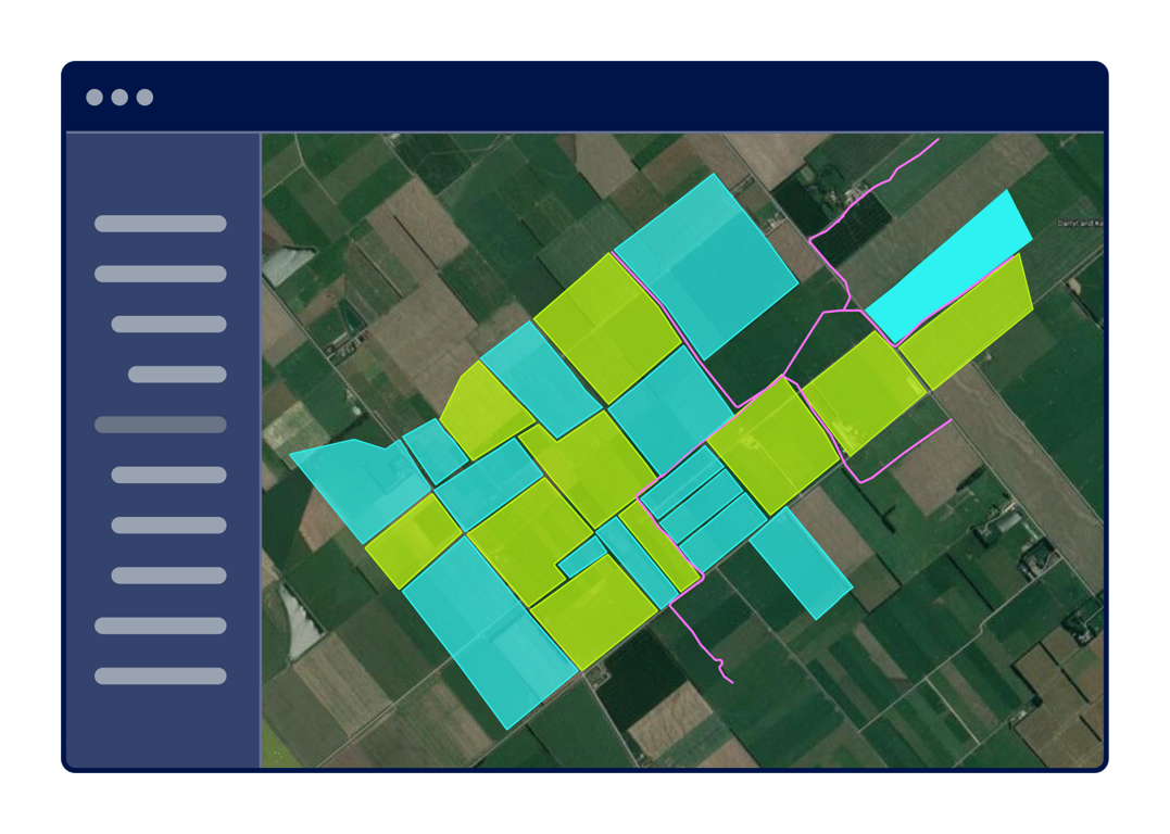
How farm mapping works in Onside
STEP ONE
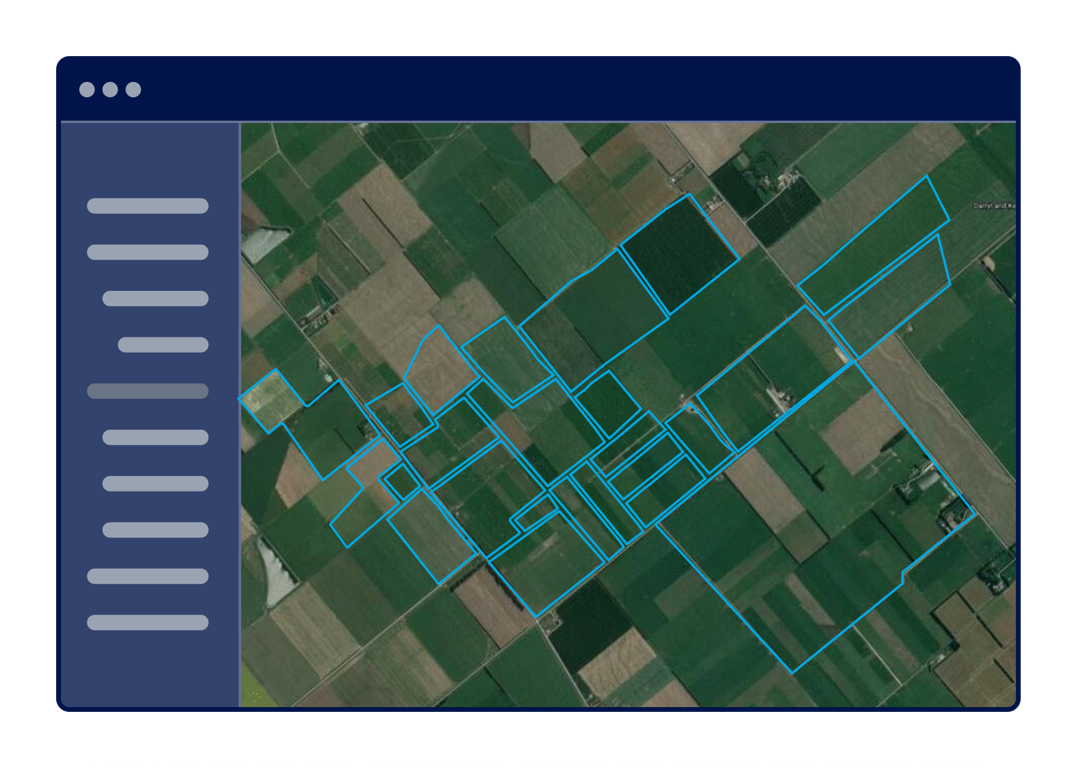
Mark your boundaries
Mapping your property in easy in Onside. To get started, you'll click and drag your mouse to draw the boundaries of your property onto your visual map.
-
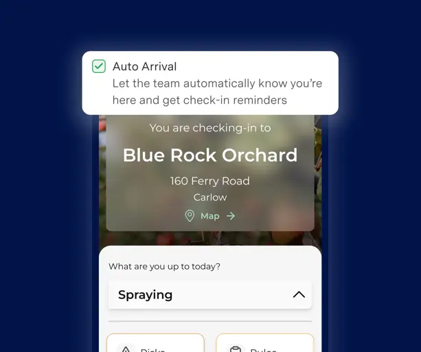
Get instant alerts when people arrive or leave your farm.
-
Set custom boundaries to mark no-go areas.
-
Effortlessly update and adjust boundaries as your property changes
STEP TWO
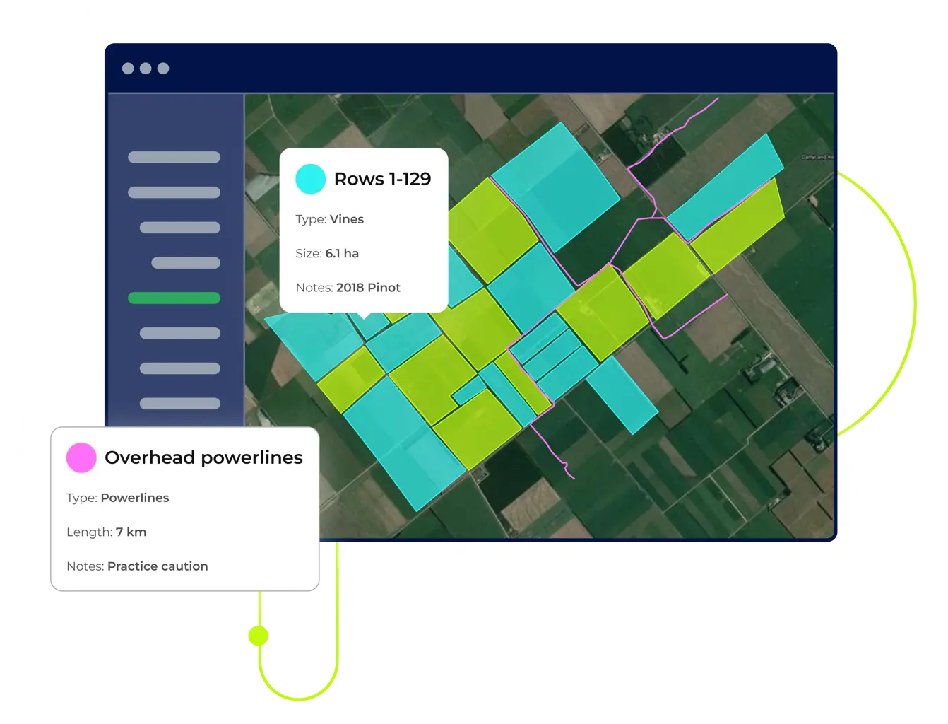
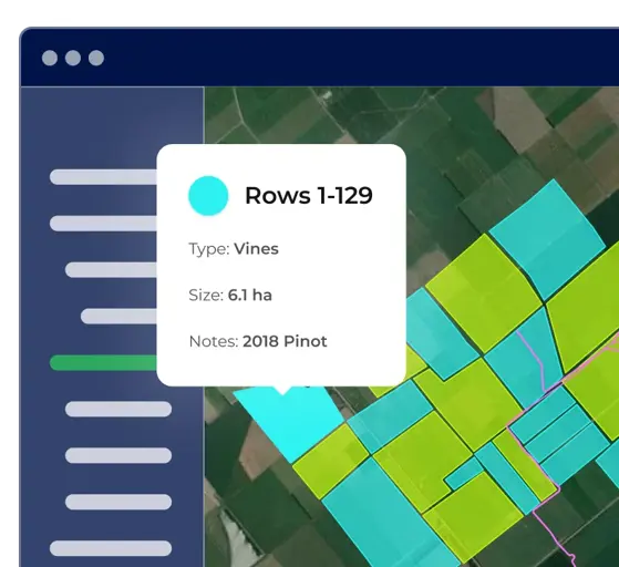
Add blocks, paddocks, & lines
Your digital map helps everyone to get around, so you can make it as detailed as you need. You can add lines to show roads, and identify your blocks and paddocks.
- Simplify visitor navigation around the property.
- Clearly define specific areas for different crops or livestock.
- Mark infrastructure like irrigation systems and fences.
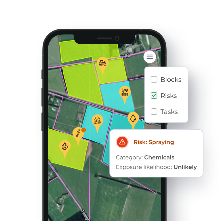
STEP THREE
Pin risks & points of interest, ready to share
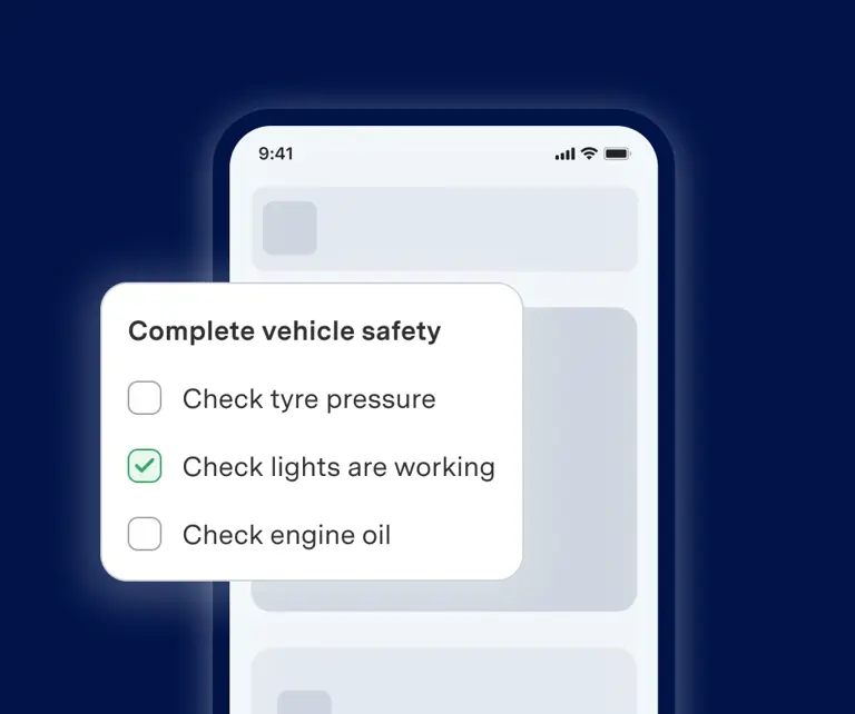
Help people visiting your property find the main office and facilities, and map where to find first aid kit, fire extinguisher, and the locations of known risks. Staff and contractors can now check-in to see the map.
- Mark GPS locations of hazards.
- Pinpoint assembly points and first aid resources for emergencies.
- Filter map layers to clearly view hazards and points of interest.
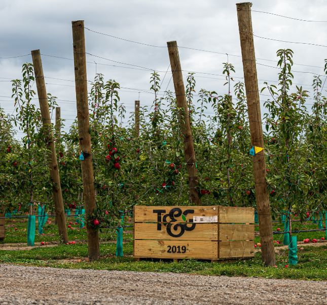
"There’s a certain amount of information that everyone needs to be updated with. Having that information easily accessible on visitors' phones is hugely efficient."
T&G
Leigh Pennman, Regional Field Technician